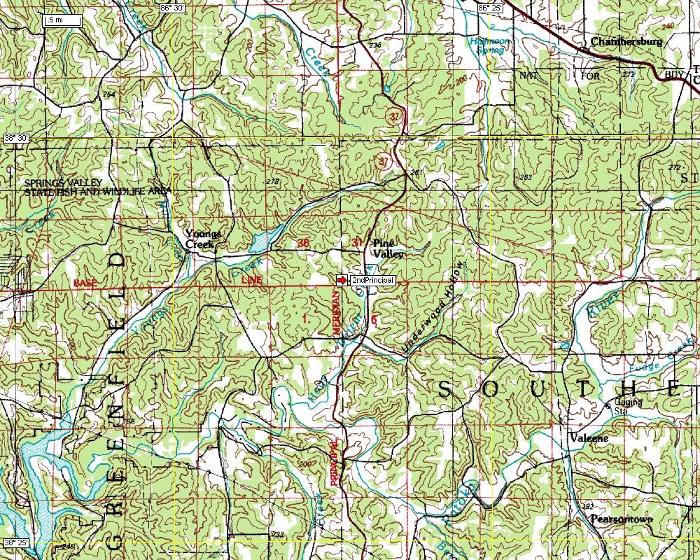
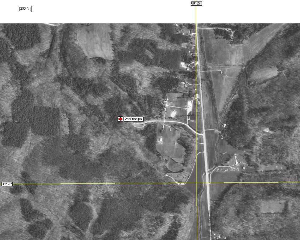
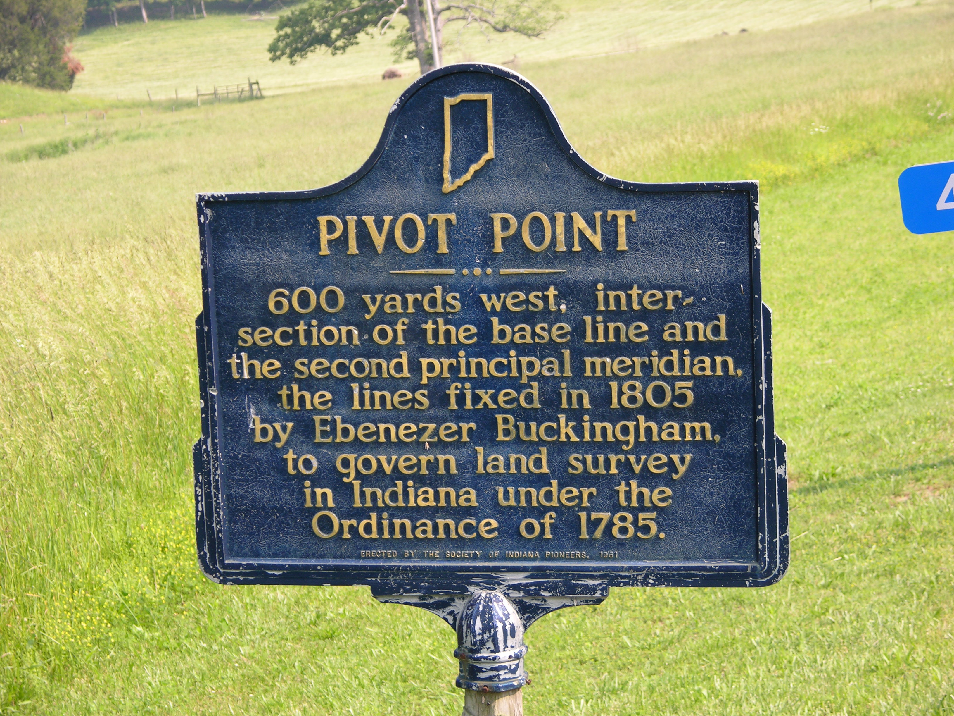
The Second Principal Meridian
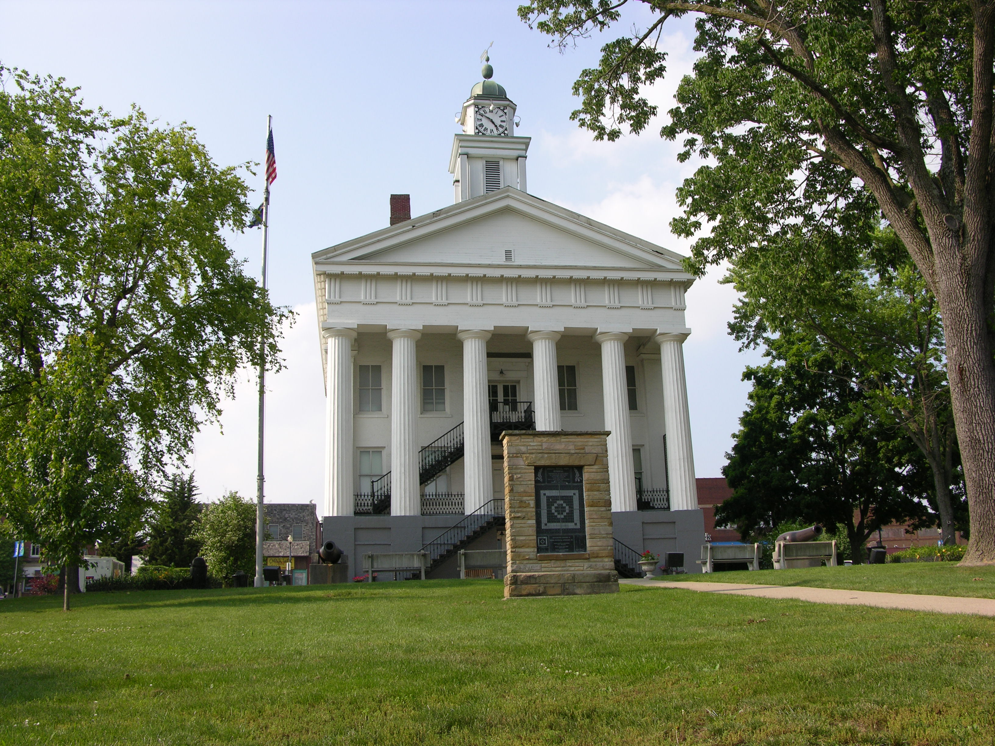
Paoli, Indiana
Ebenezer Buckingham established this initial point in
1805. The base line was started and the western point of Clark's Grant and
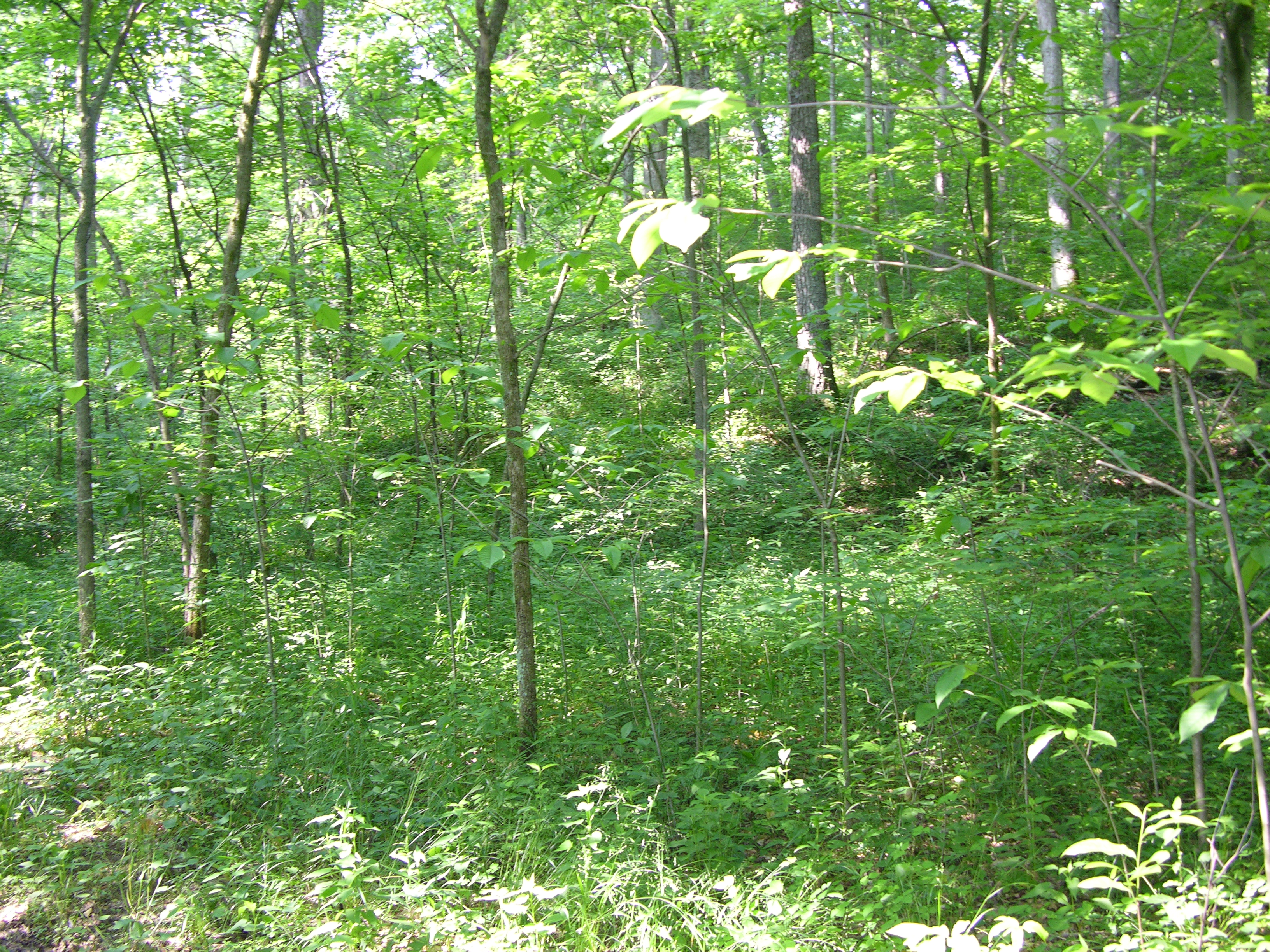
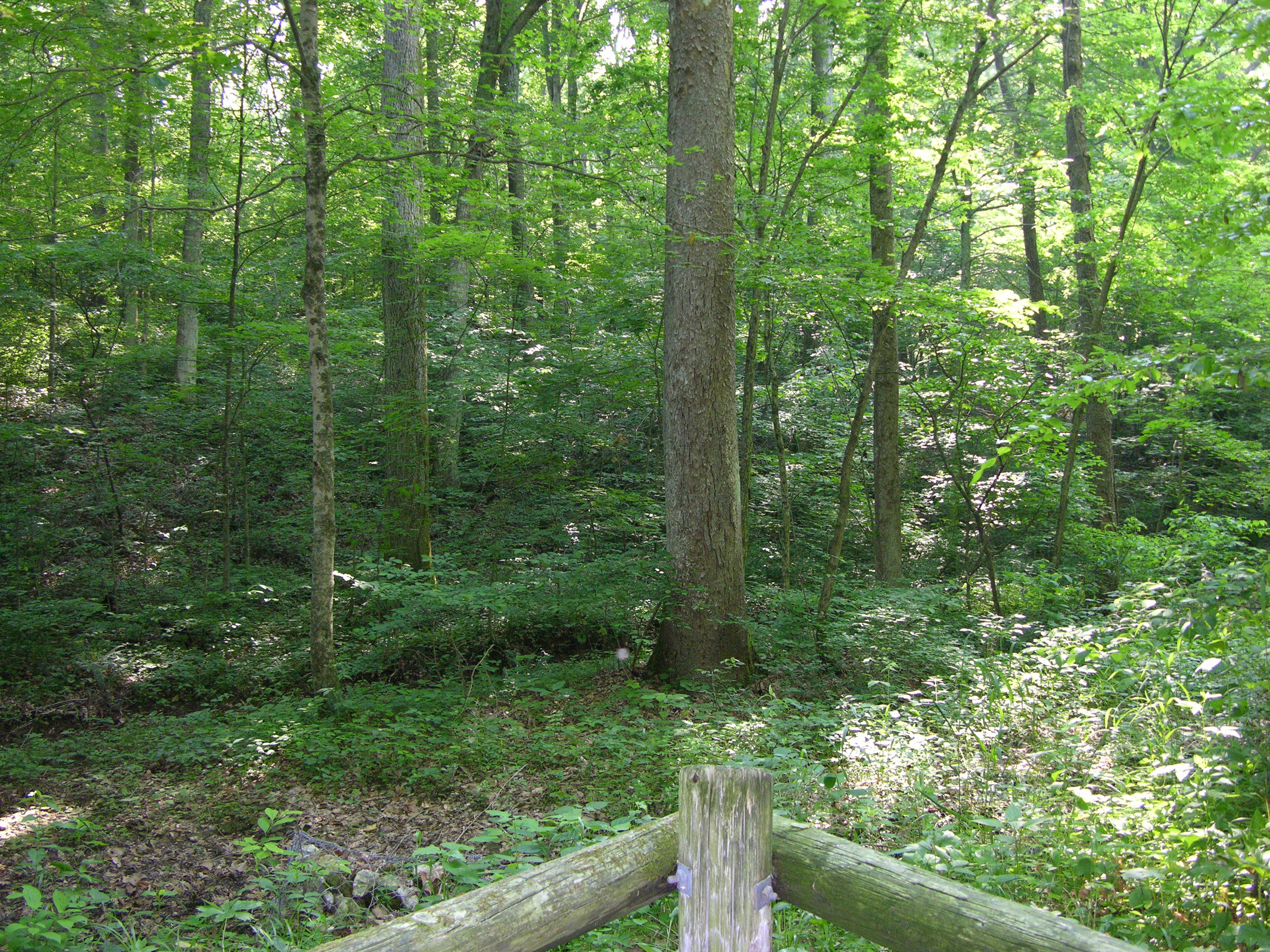
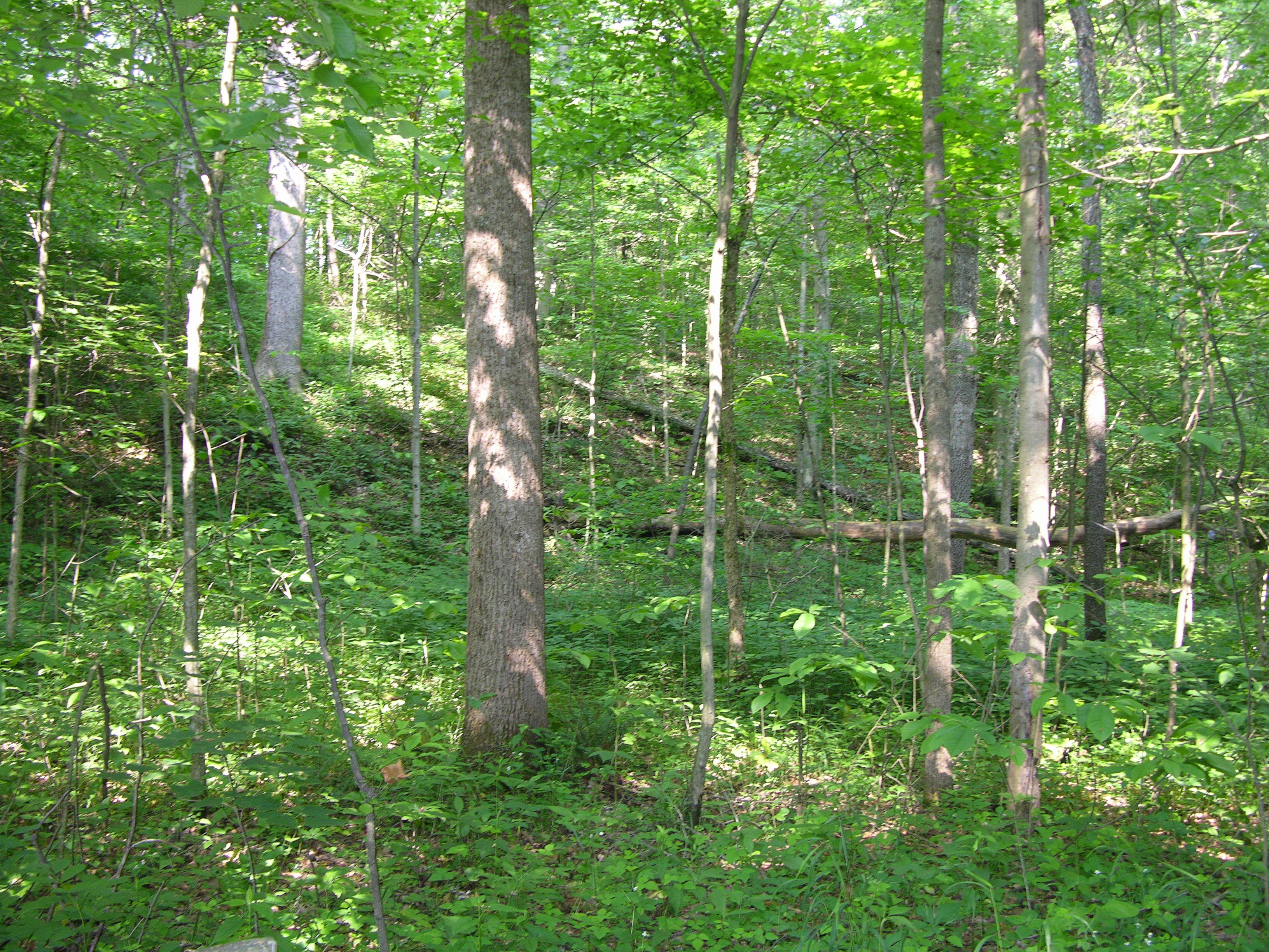
run to the Illinois border. The meridian divides the state in half. By
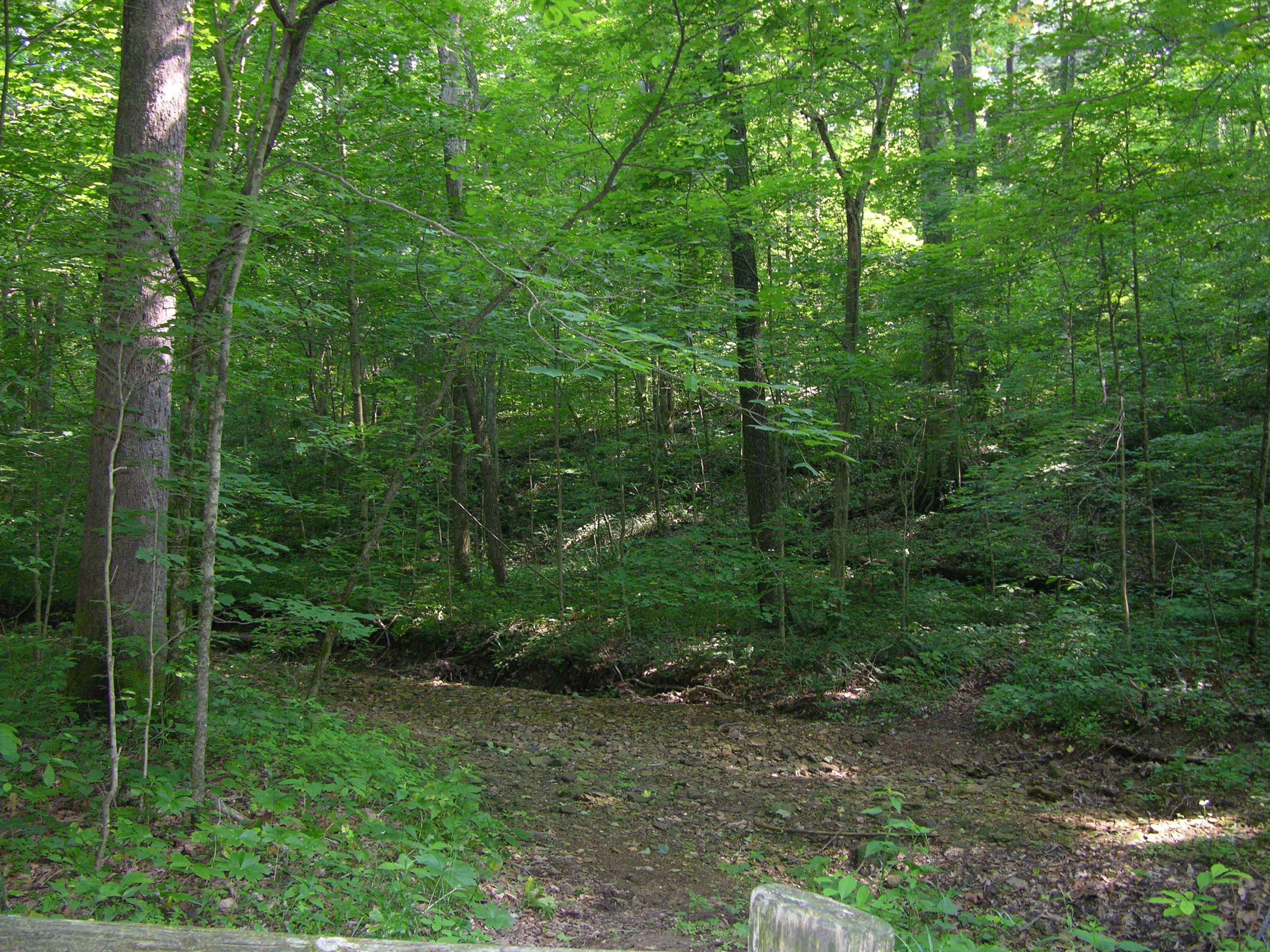
determining the lines in this manner the initial point falls in a heavily
wooded area next to a dry stream bed.
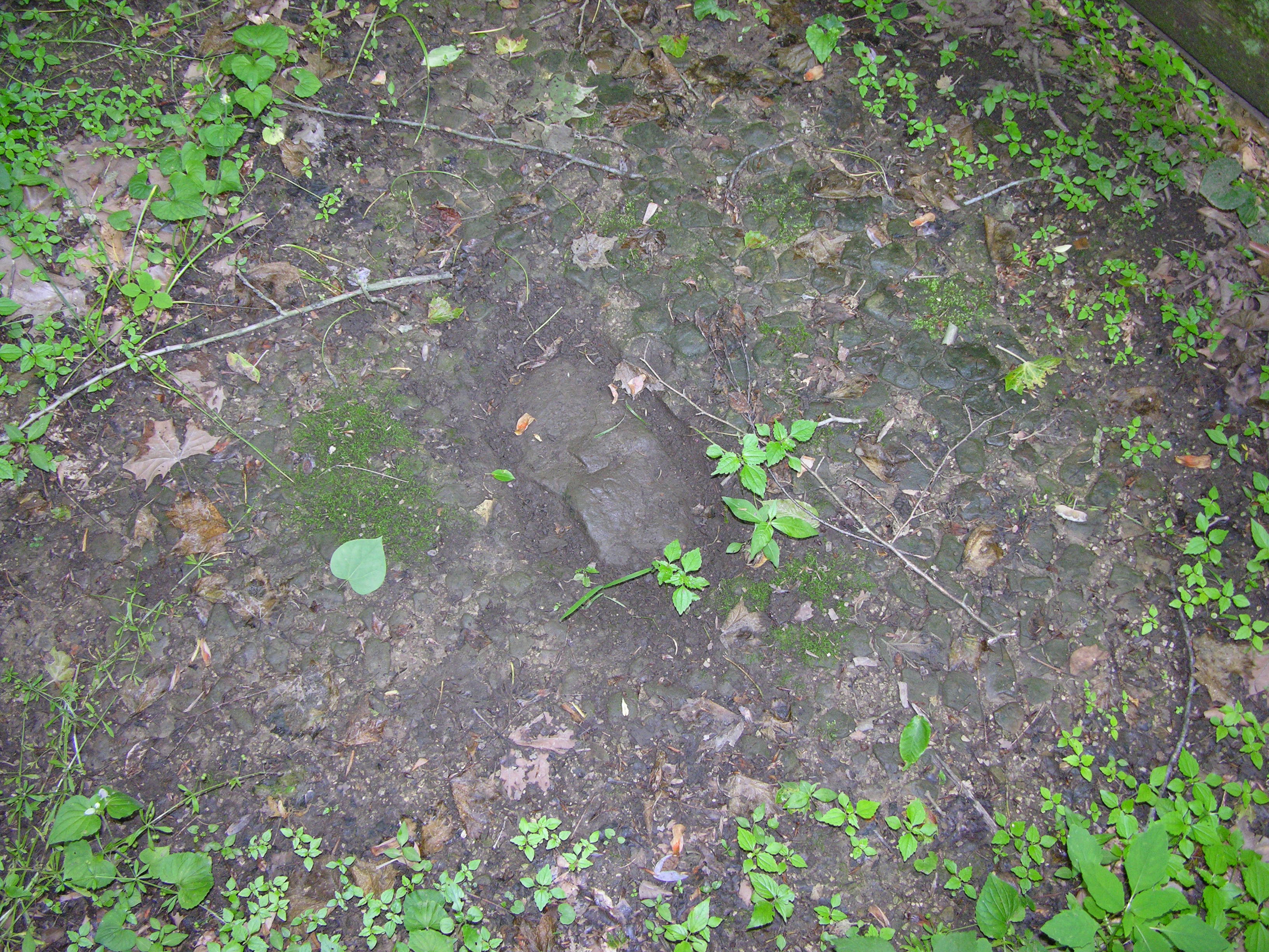
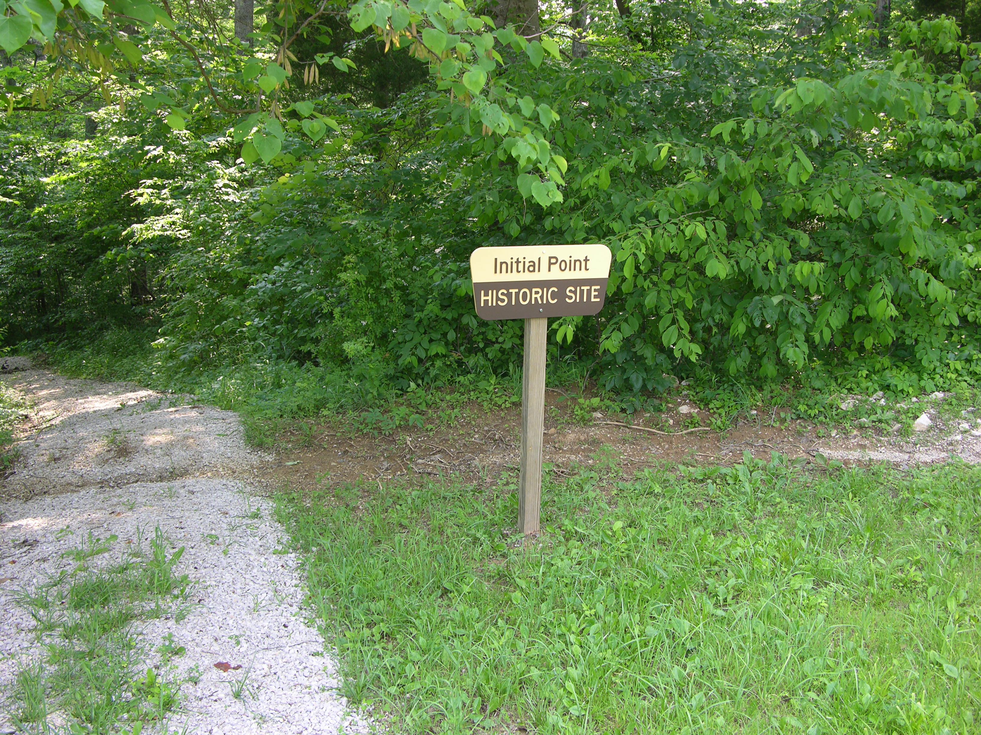
In a December 1866 resurvey it was noted that the initial point was a
stone marked S31. It is not clear whether that stone was placed in 1805 or
1866. None the less it is still there as the center photo shows.
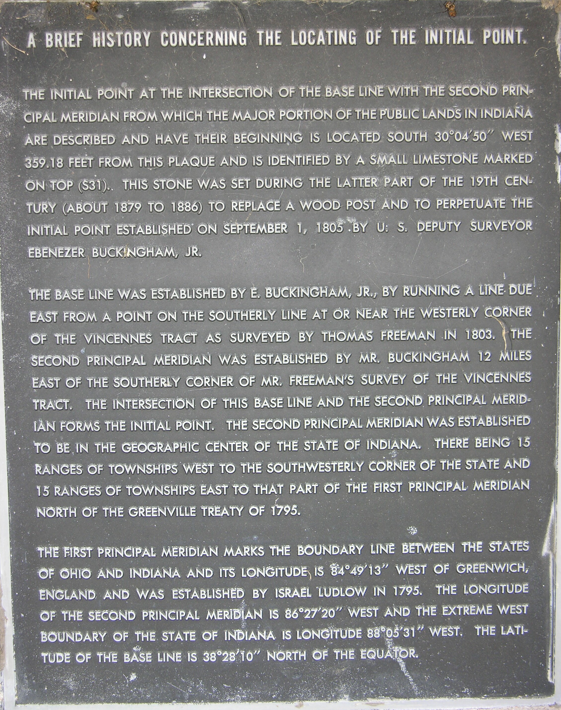
In the mid seventies an attempt was made to make this a park. During A.W.'s visit he photographed a large granite monument that had been defaced but is completely gone now. The zinc plates used to make the copper plates were moved to a safer location at the Paoli Courthouse lawn. I have included photos which you should read if interested as they contain a lot of historical information.
Submitted by:
John N Shankland
June 4th 2005