The Fifth Principal Meridian
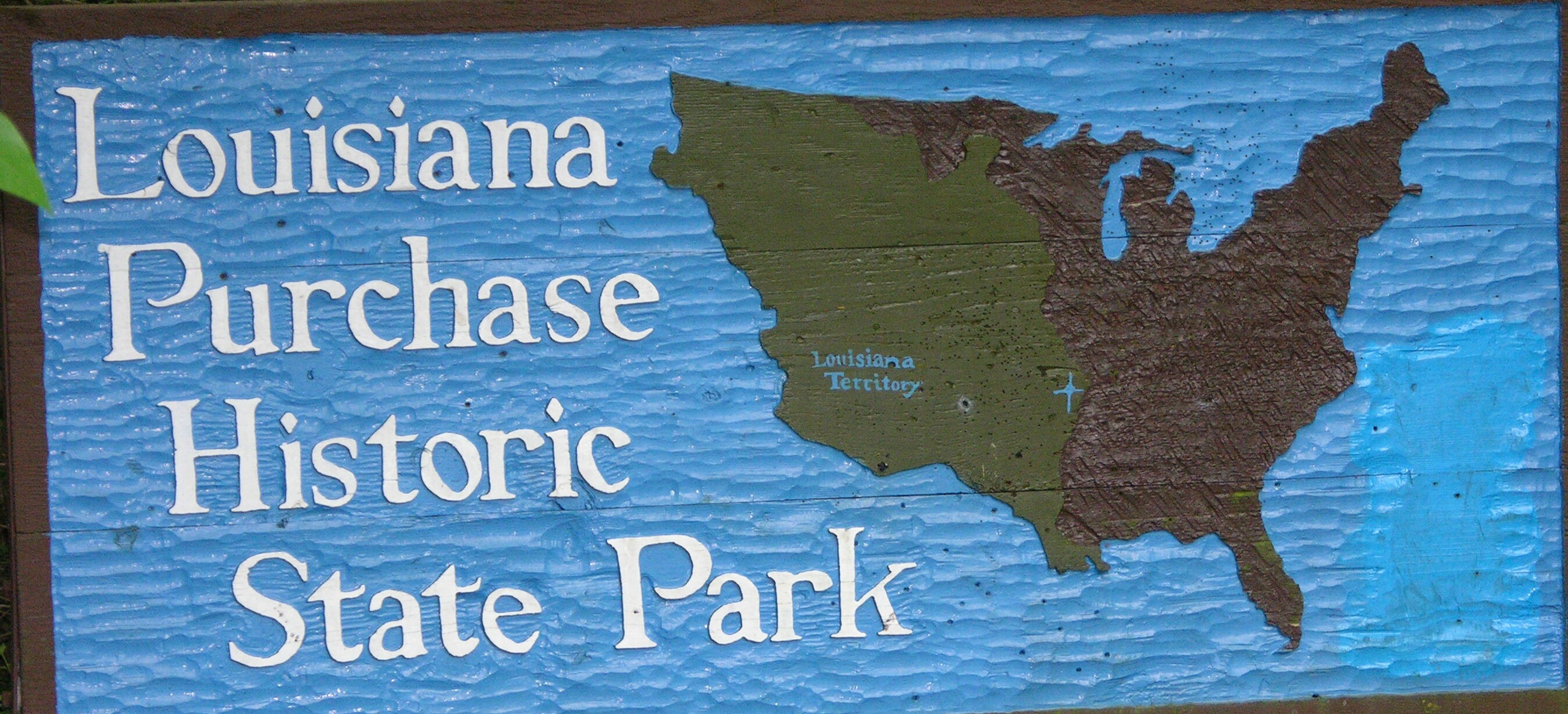
Louisiana
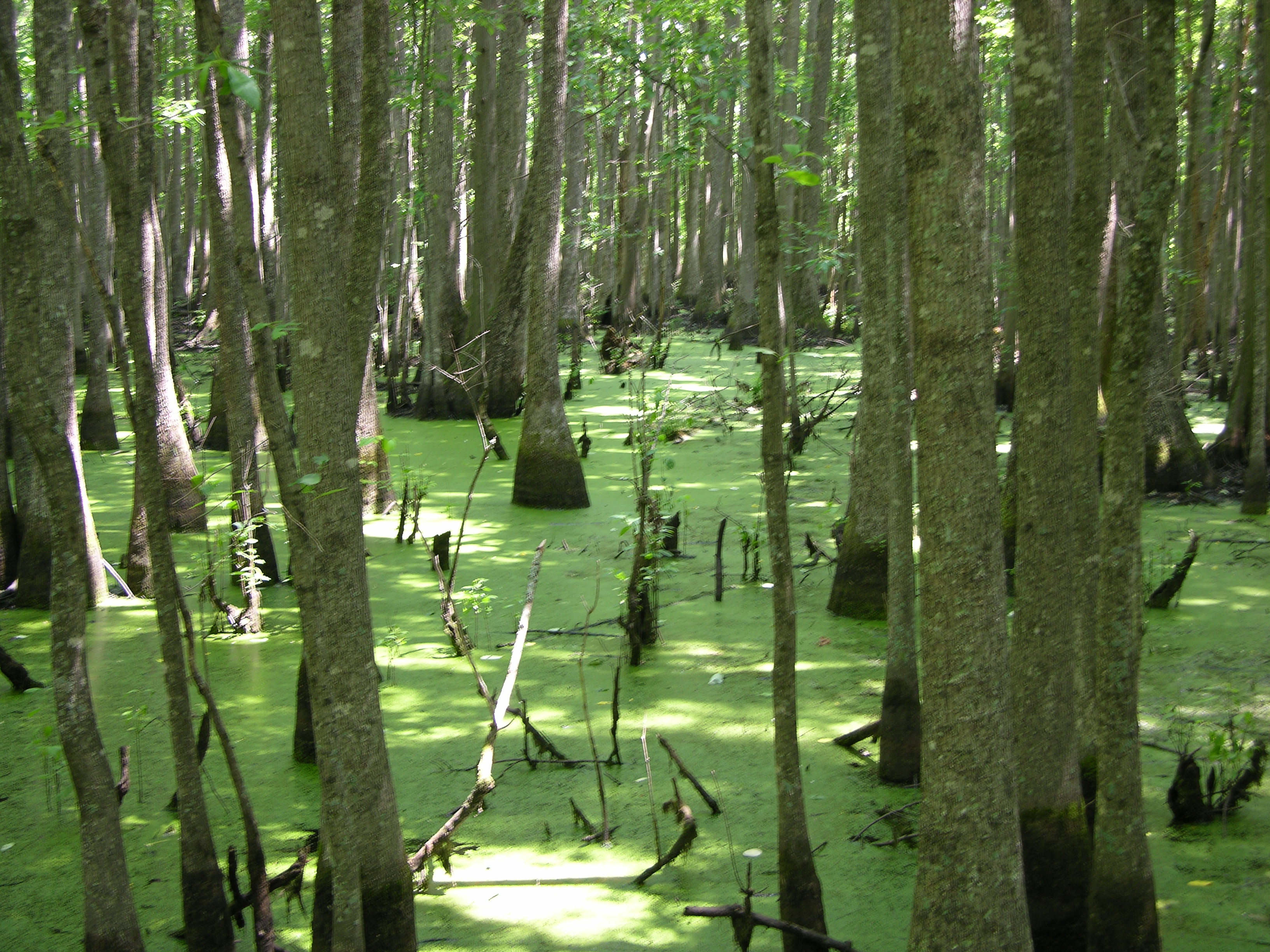
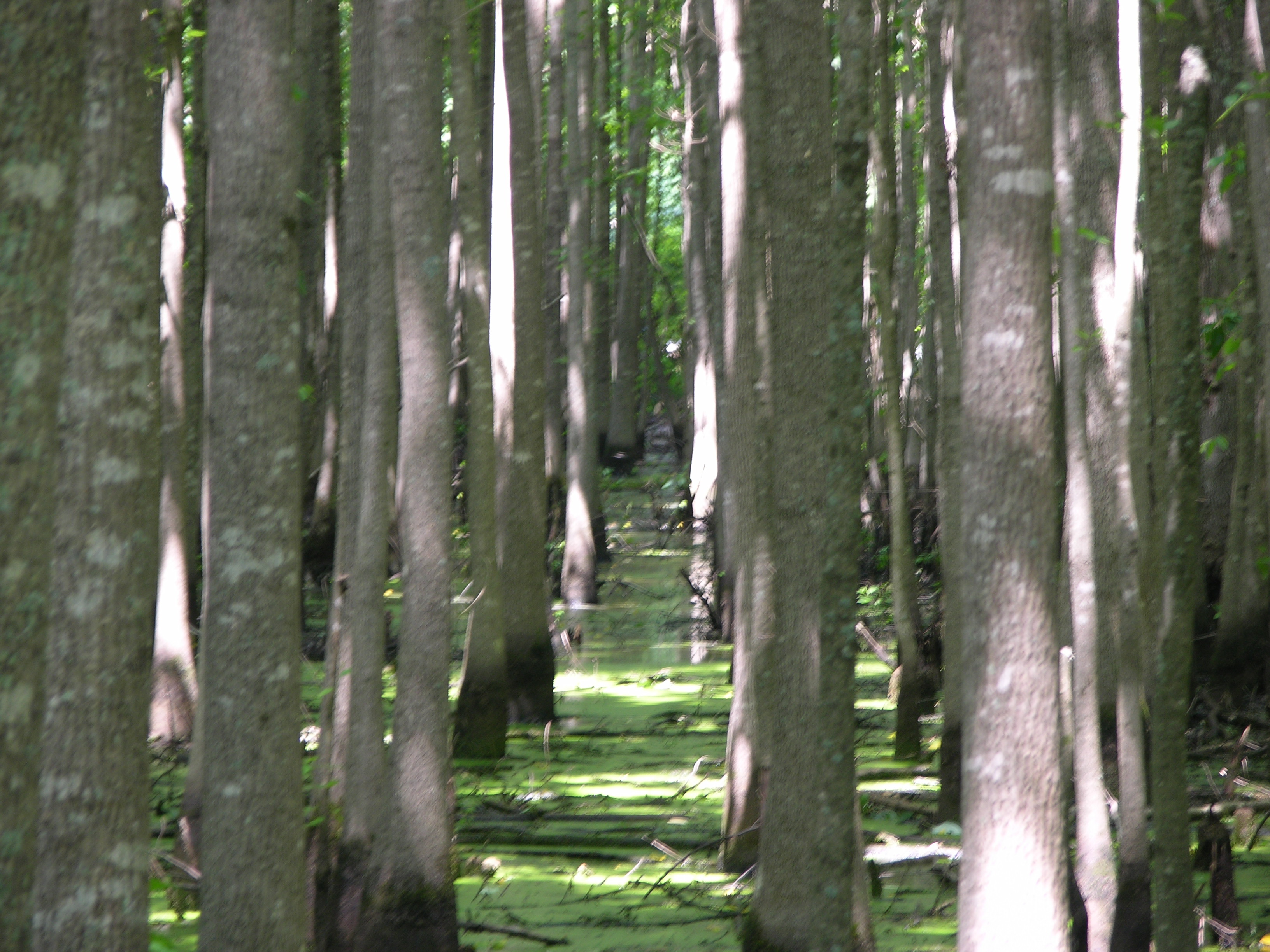
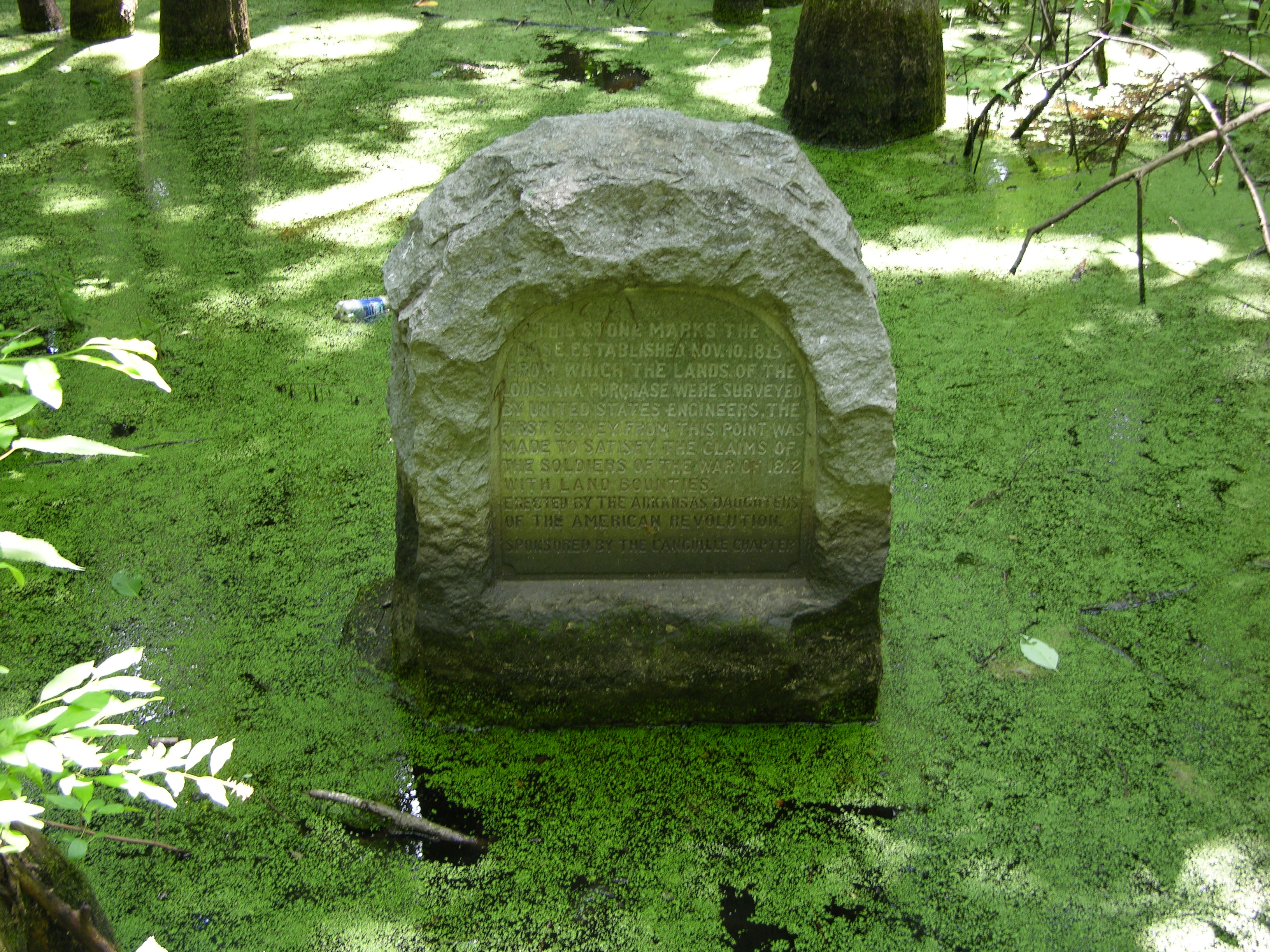
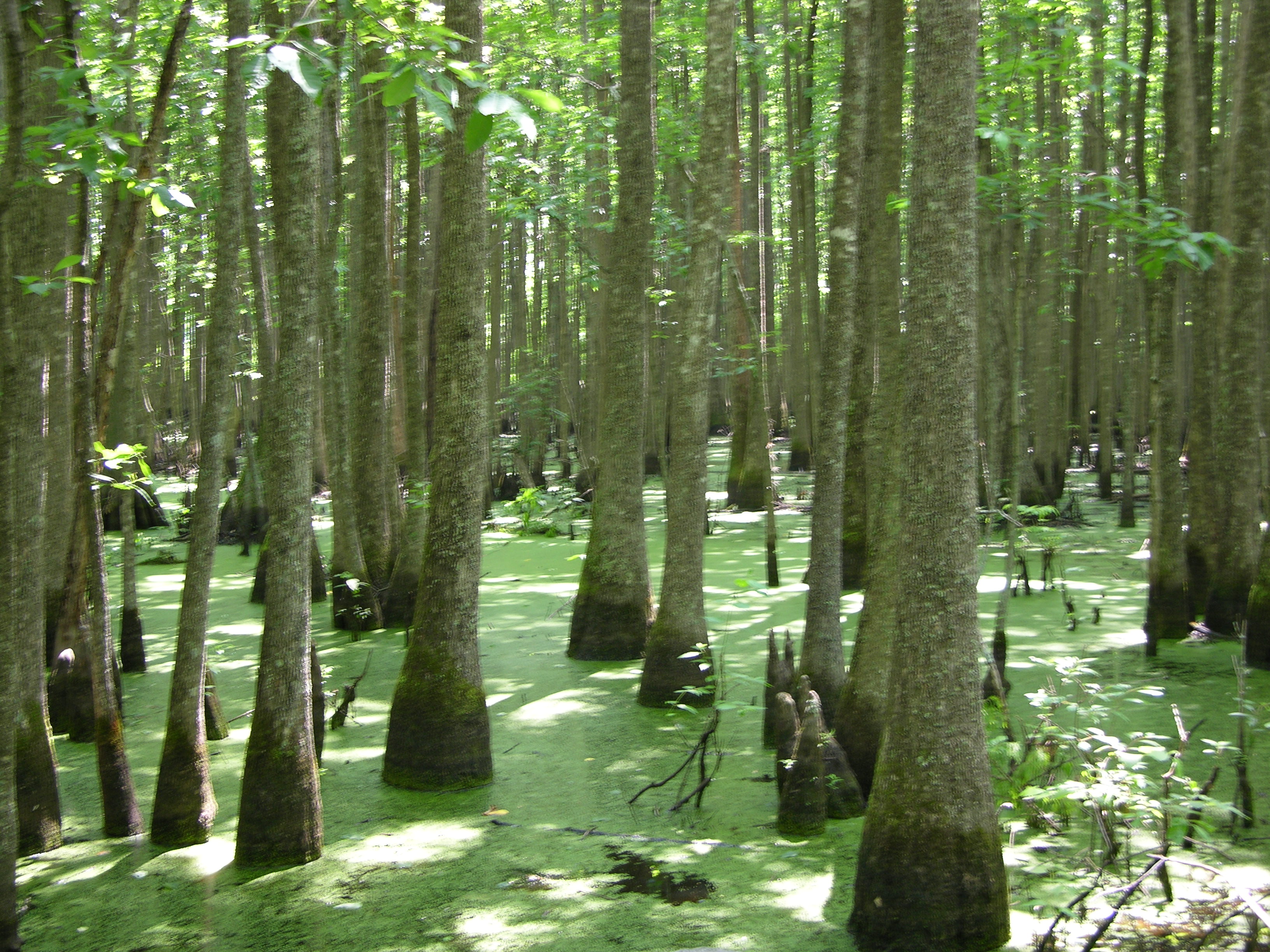
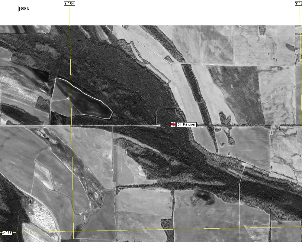
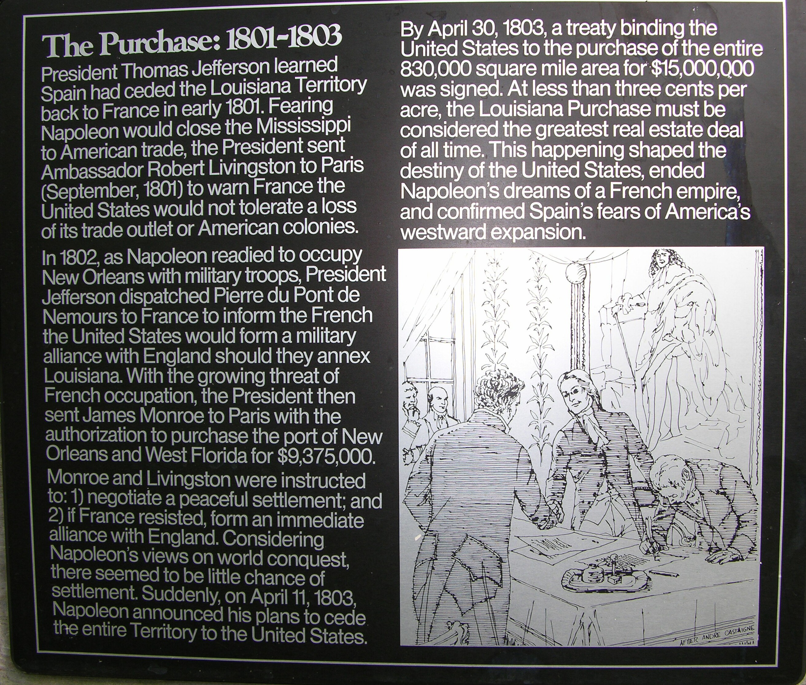
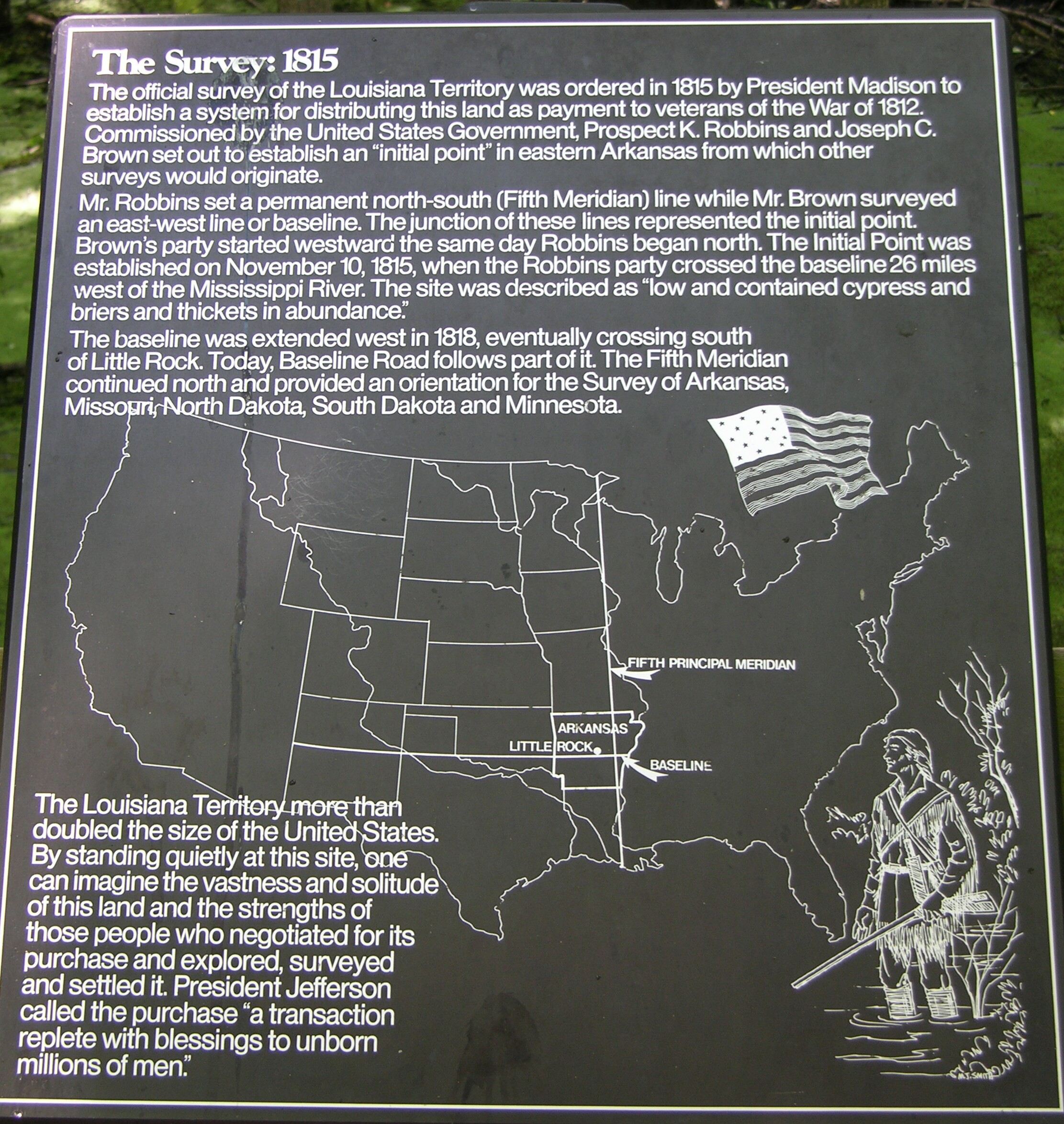
This was the first Meridian of the new Louisiana Purchase and covered about 2,000,000 acres. Eventually it would cover all or most of six states. There was much discussion regarding where the base line would be with the primary spot being and extension of the third PM baseline. Ultimately it was decided to use the confluence of the St Francis River and the Mississippi River for the base line and the confluence of the Arkansas and Mississippi for the Meridian. Two survey teams started on the same day and proceed North and West respectively. The initial point became the place where this lines crossed. This is one of many examples where the Meridian line and base line determined the initial point rather than the other way around. As a result the initial point is in the middle of a high water swamp. The site today consists of a 900 foot boardwalk from a parking lot into the swamp. Not only is this spot well preserved it is an excellent opportunity to see the interior of a swamp.
Submitted by:
John N Shankland
06/13/2005