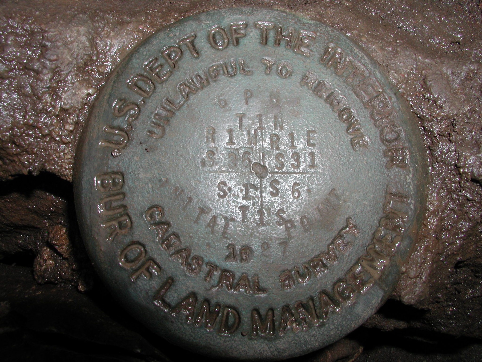
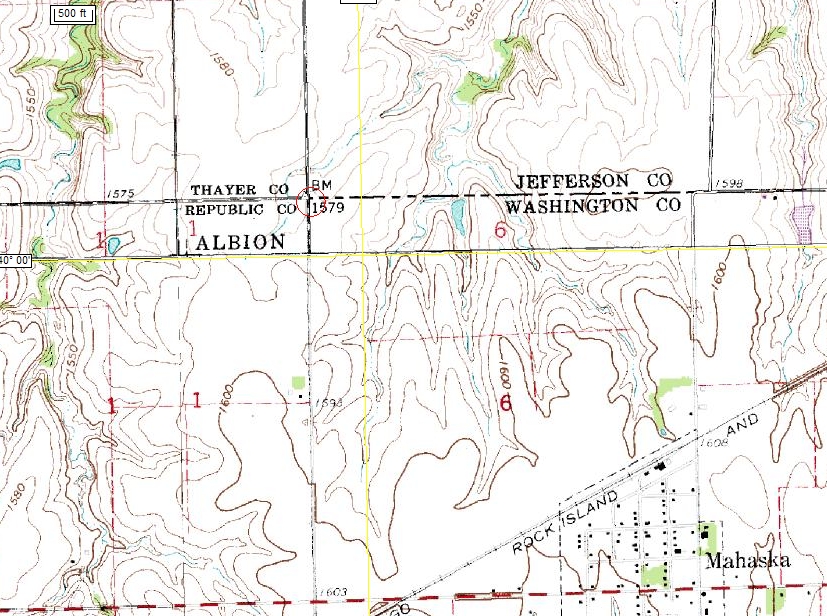
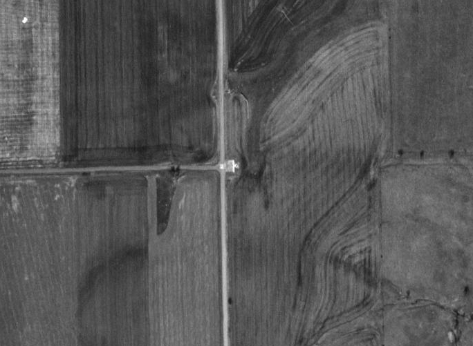
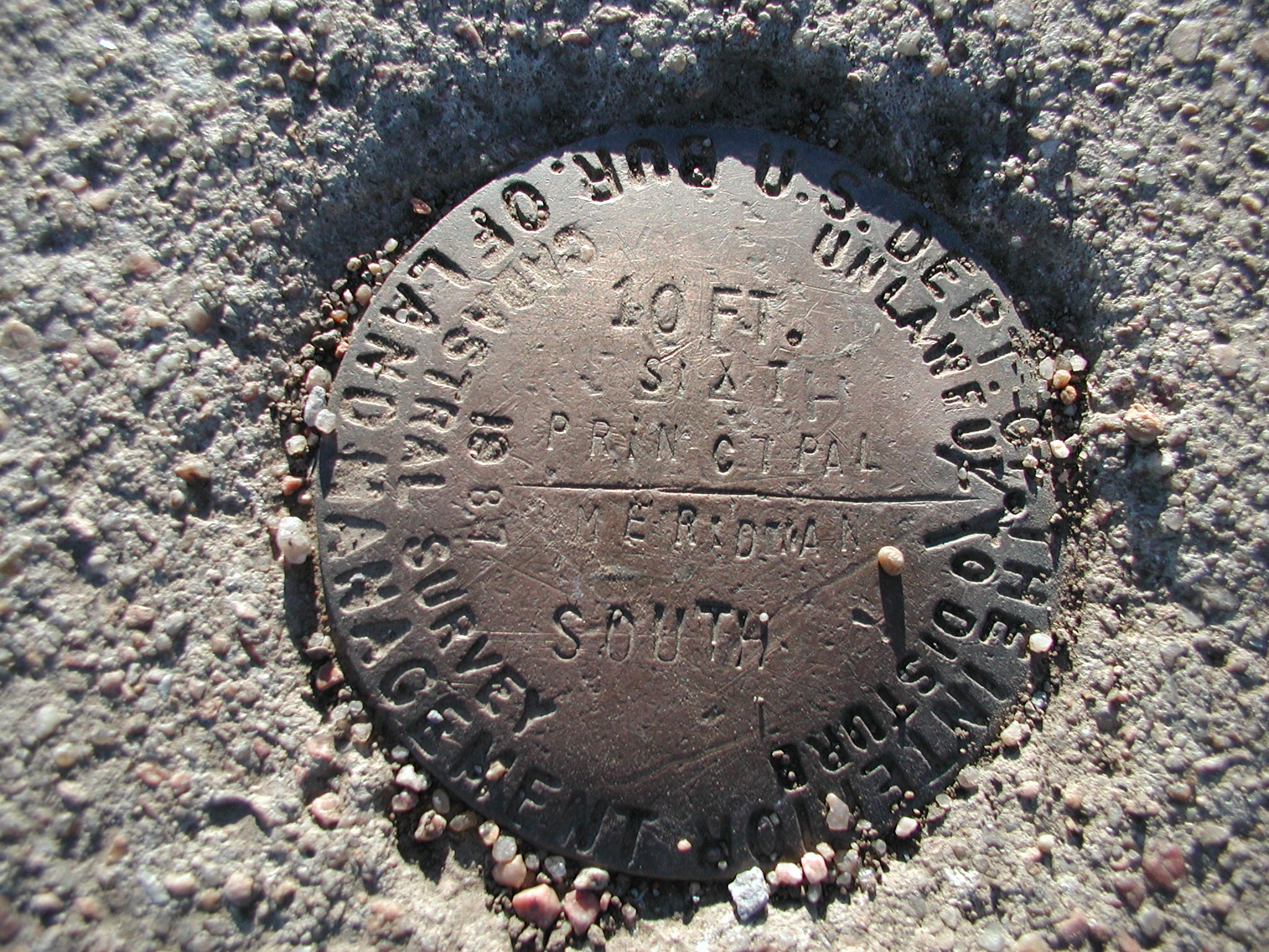
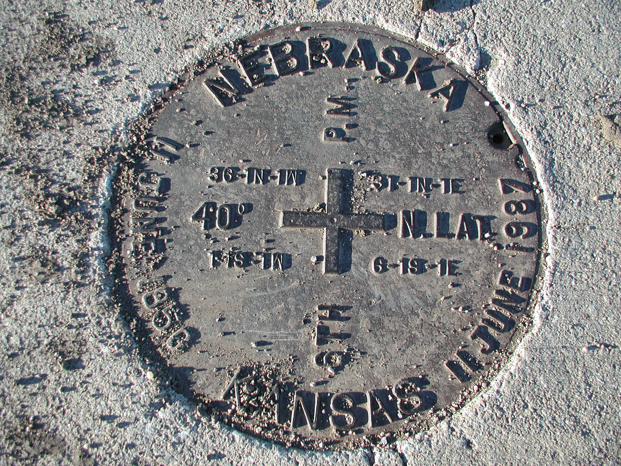
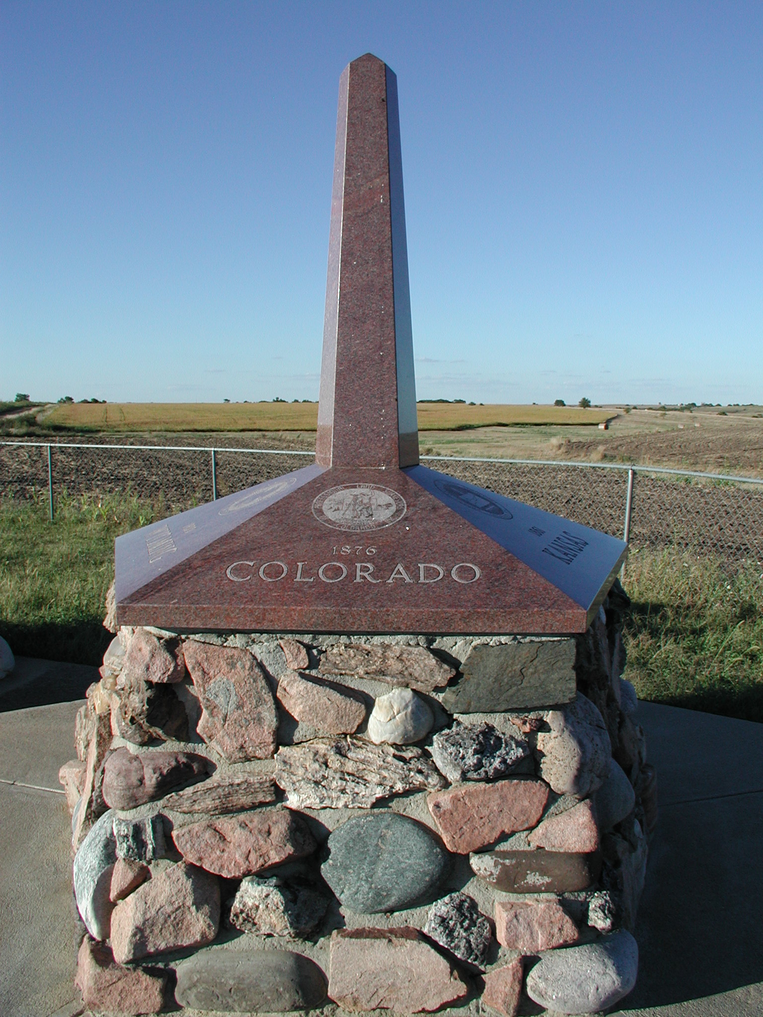
The Sixth Principal Meridian
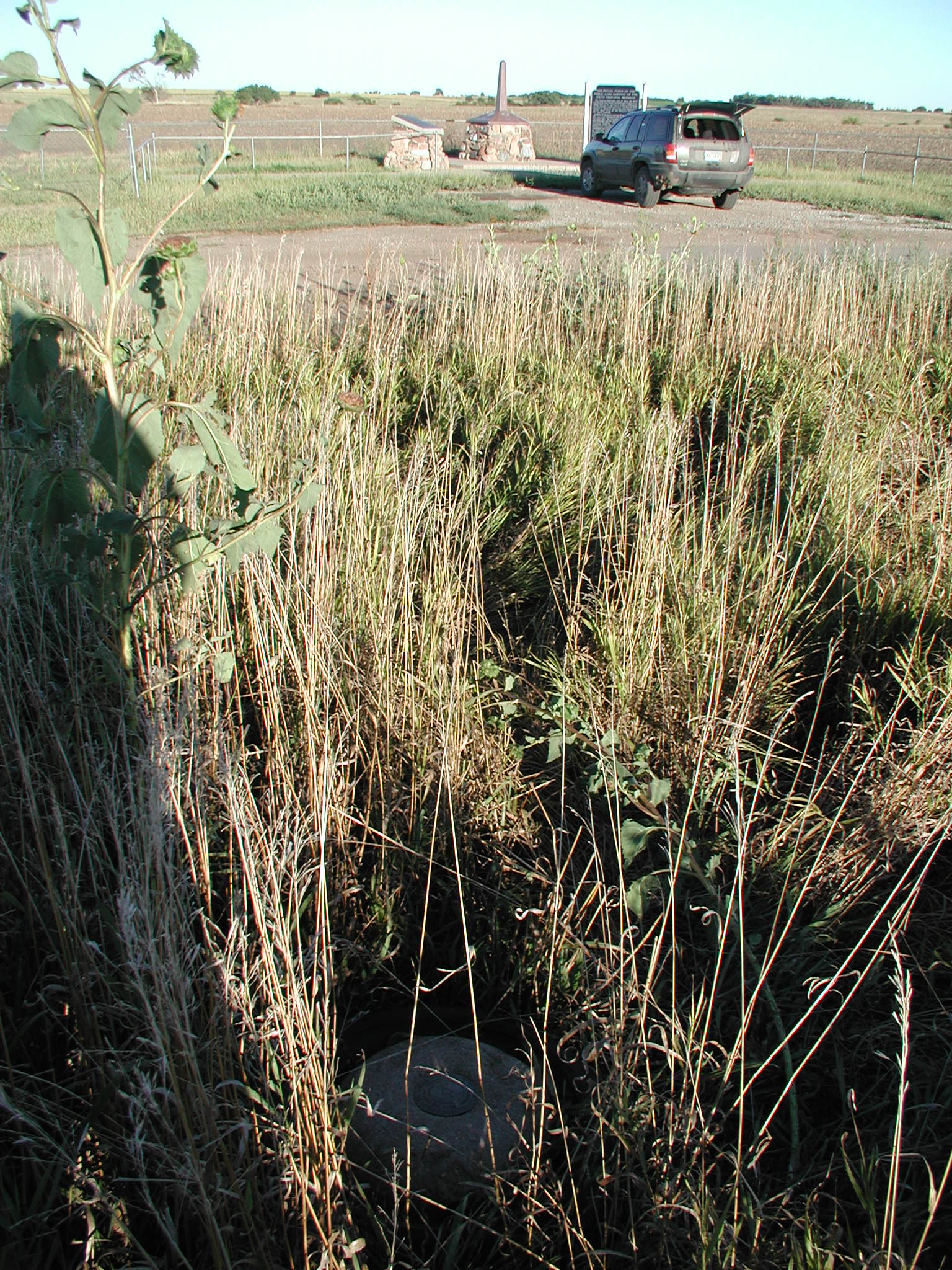
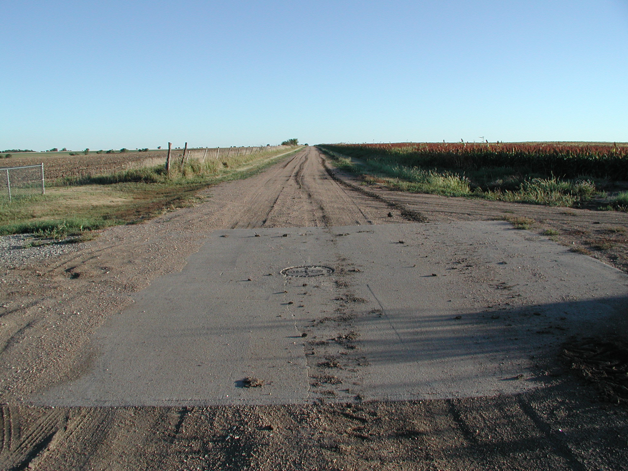
Mahaska, Kansas

The Kansas-Nebraska Act of May 30, 1854 created the territories of Nebraska and Kansas, which had to be surveyed before settlement of the prairies could proceed.  On May 8, 1855 Charles A. Manners set a cast iron monument on the bluff west of the Missouri River at 40° north latitude.

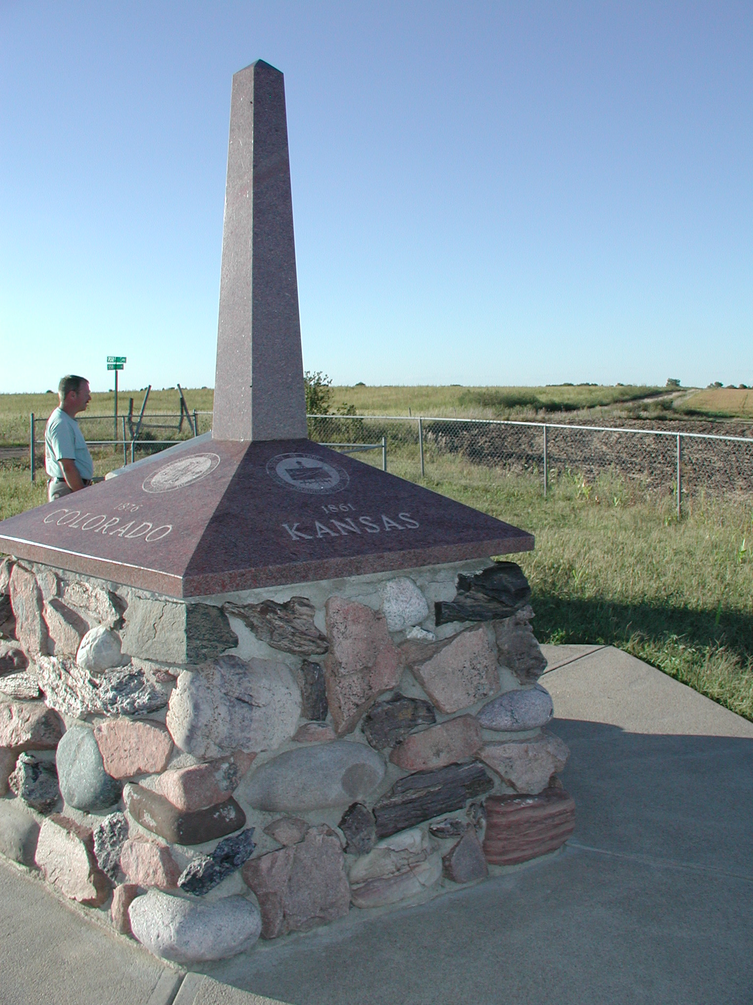
 In 1855-56 Manners surveyed westward from the cast iron monument 108 miles establishing the base line, the boundary between Kansas and Nebraska and the Initial Point of the Sixth Principal Meridian.


Home Page

Submitted by:

Kurt A Luebke


P9150053.JPG (704734 bytes)

P9150052.JPG (692139 bytes)
(NW)

6th.JPG (686666 bytes)

view from Meridian station East toward parking.jpg (716206 bytes)

6th-Looking South.JPG (710649 bytes)


The following exhibits clearly show the results of grid surveying. Highways and rural land ownership typically fall along these lines.

6th Topo.jpg (487261 bytes)

6th Aerial - parking area clearly visible.jpg (195389 bytes)

Topo Map

Aerial Photo

6th-rm-south.JPG (718207 bytes) 6th-description.JPG (720507 bytes) P9150050.JPG (688182 bytes)
One of 4 reference markers  Historical Marker Monument to the 5 States covered by this Meridian


6th-manhole.JPG (687418 bytes) 6th-manhole open.JPG (719593 bytes) 6th-Stone & cap.JPG (693728 bytes)
Man hole cover Opened Original stone and modern cap


The following information is found on an informational plaque to the East of the Sixth Principal Meridian Monument .  This monument can be found approximately 1 mile West and 1 mile North of Mahaska, Kansas.  It falls in the middle of a rough and in very wet weather, nearly impassable dirt road.  There is a parking area and informational signs approximately 66’ to the East of the monument.  In 1986 and 1987 the Surveyors of the 6th Principal Meridian recovered the original stone, which had been, broken and buried for many years.  They poured a 20’x20’ concrete pad around the stone and installed a specially made iron manhole cover to protect and allow access to the original stone.  At that time they also drilled a brass cap with appropriate markings into the top of the original stone.

Horizontal control station “Meridian”,  NGS PID LG0831 is located approximately 44’ Northwest of the 6th P.M. monument.  This station was used in 1986 to help relocate the buried stone.  There are brass caps set in the concrete in all four cardinal directions as reference monuments to the original position. The area around this site is completely under cultivation and the view is fair in all directions.