Wind River Meridian
Fort Washakie, WY
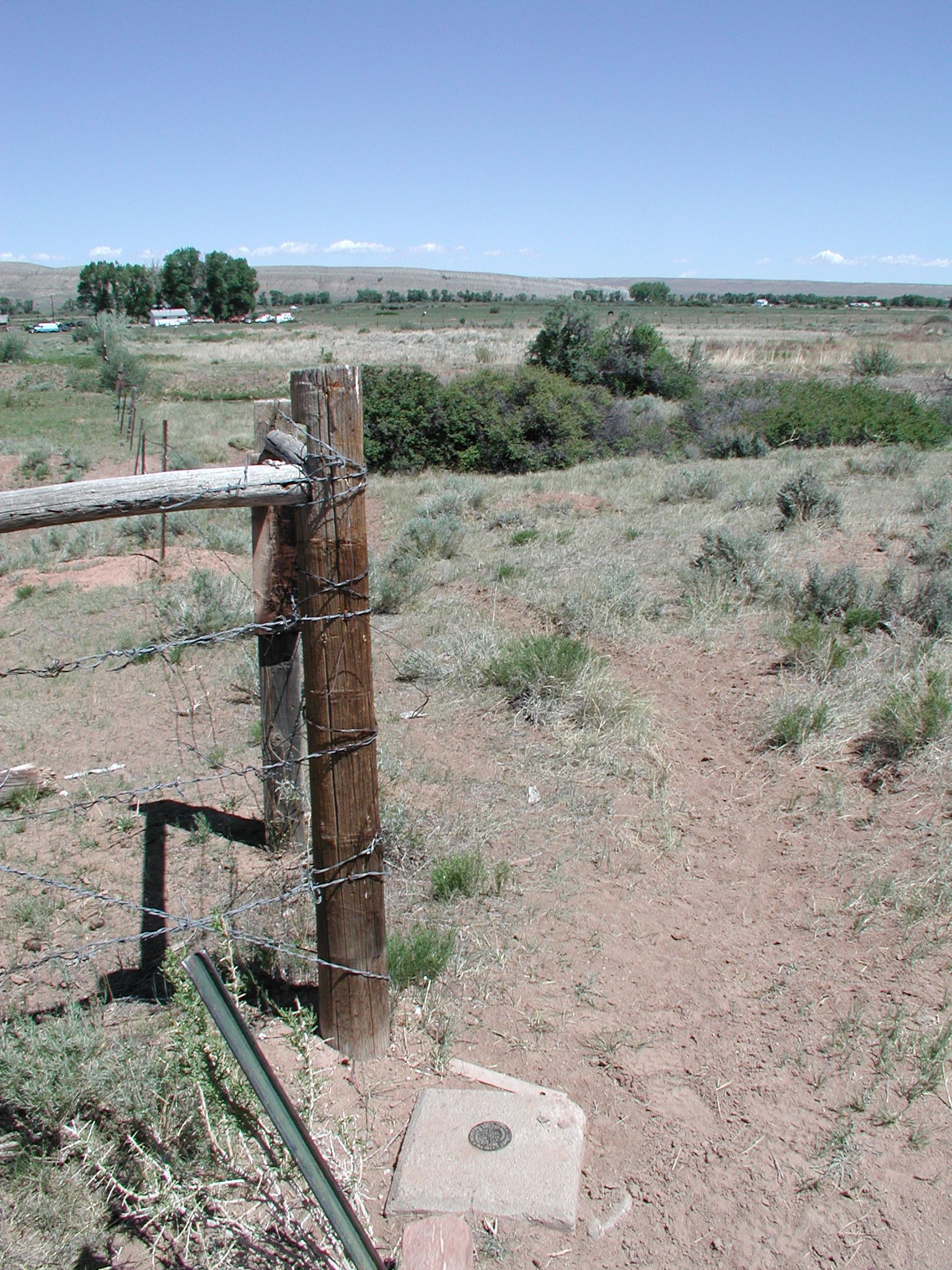
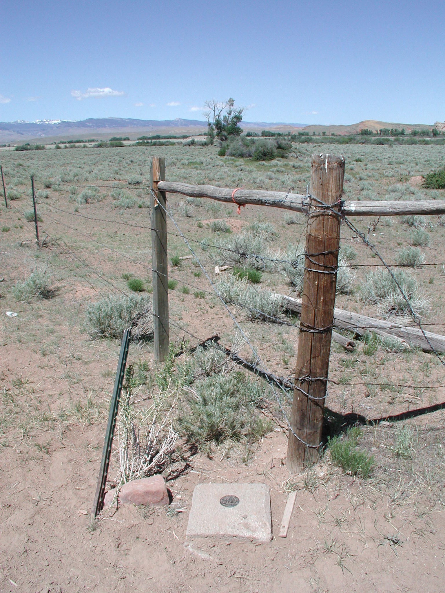
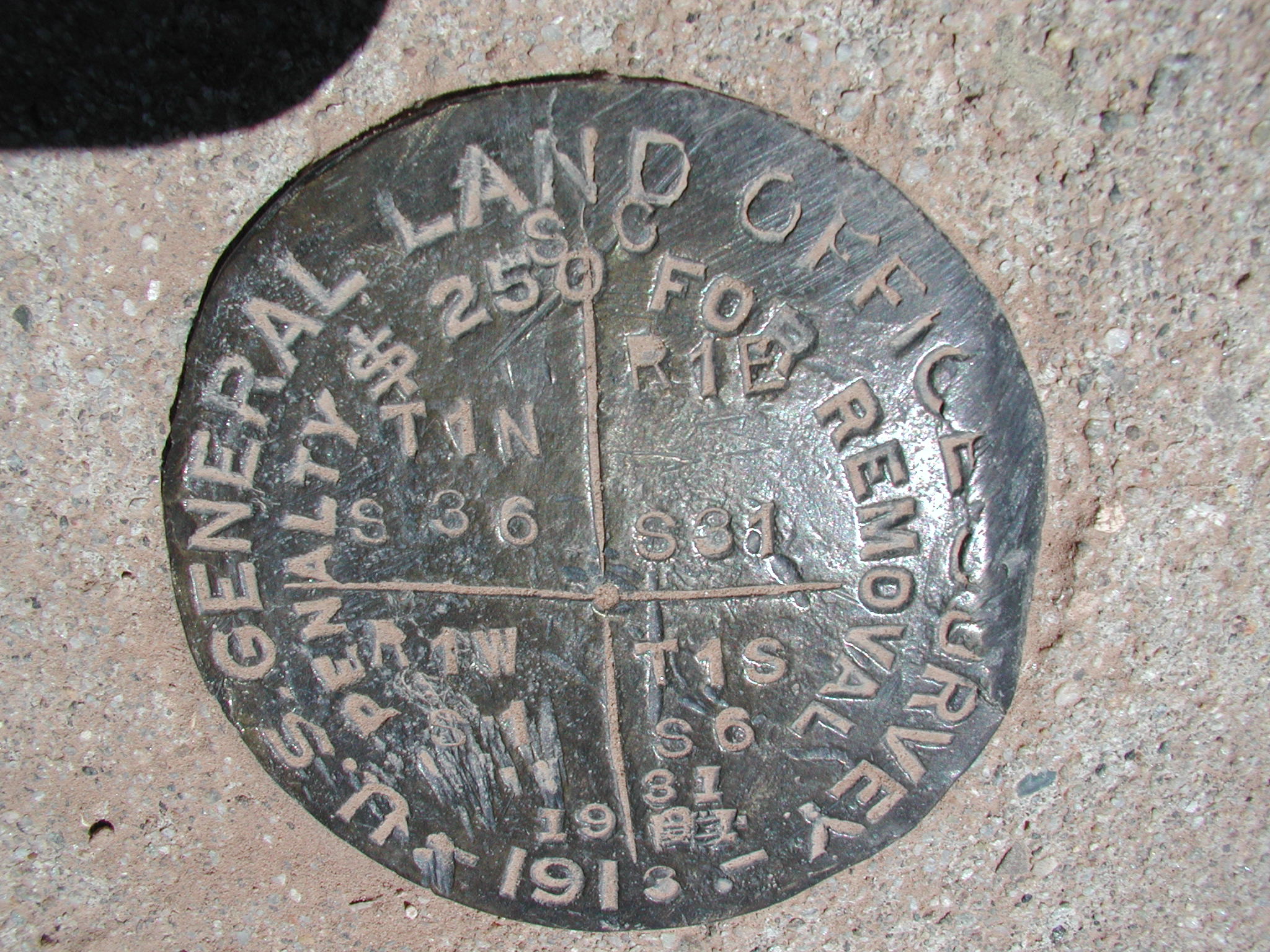
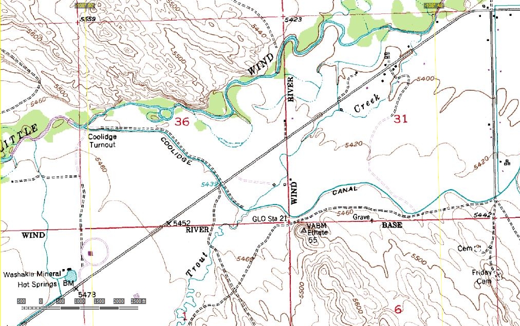
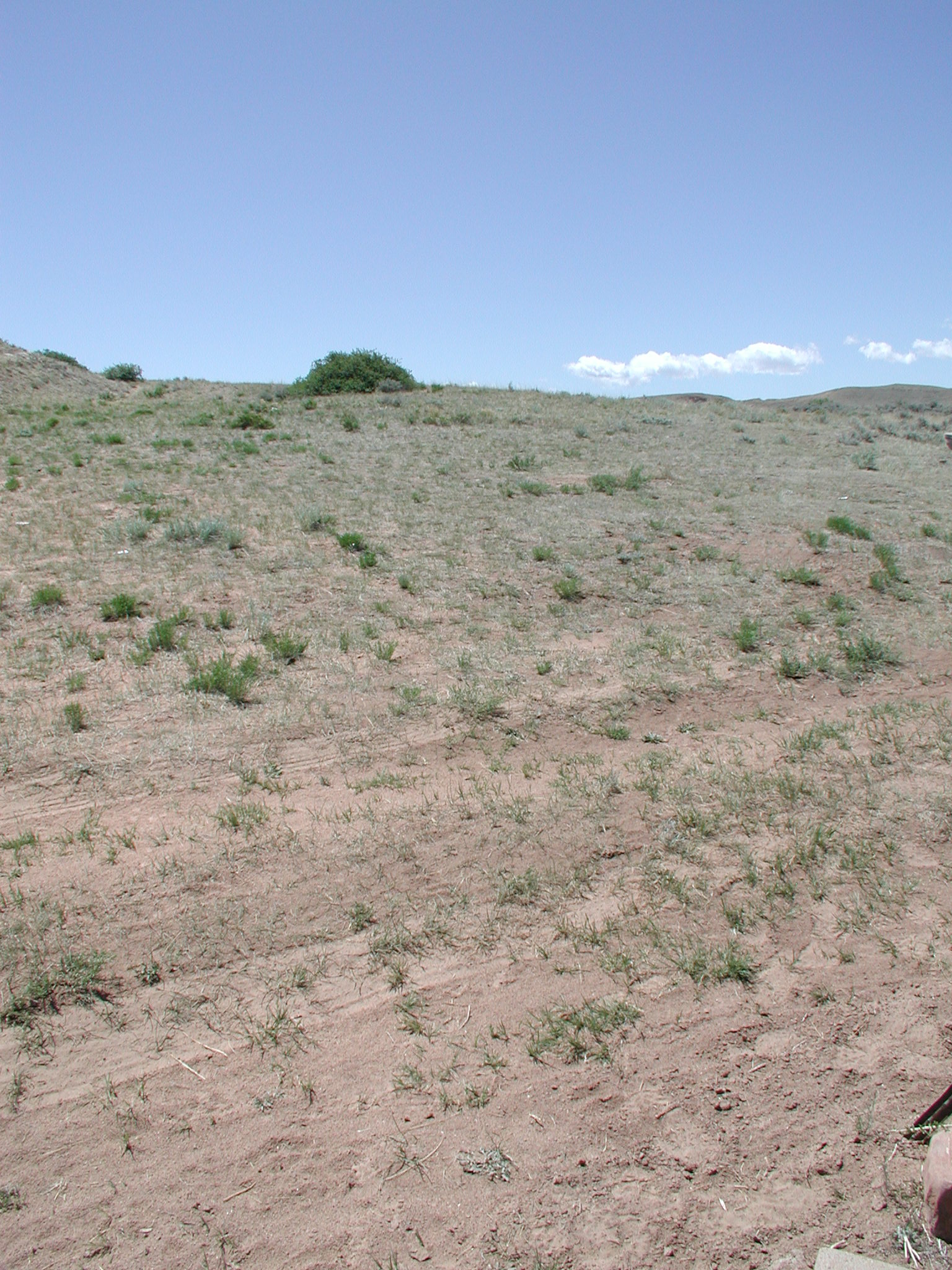
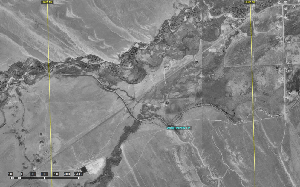
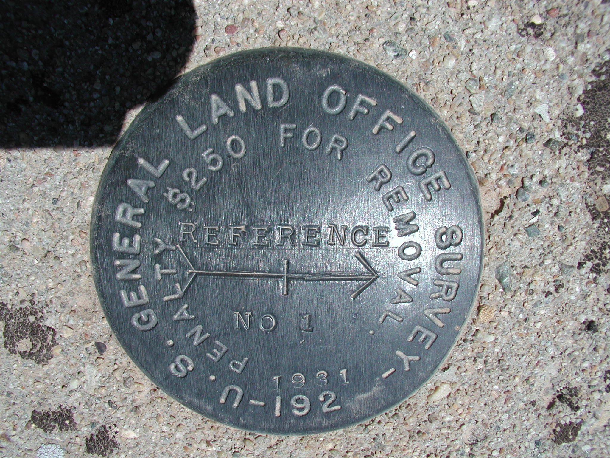
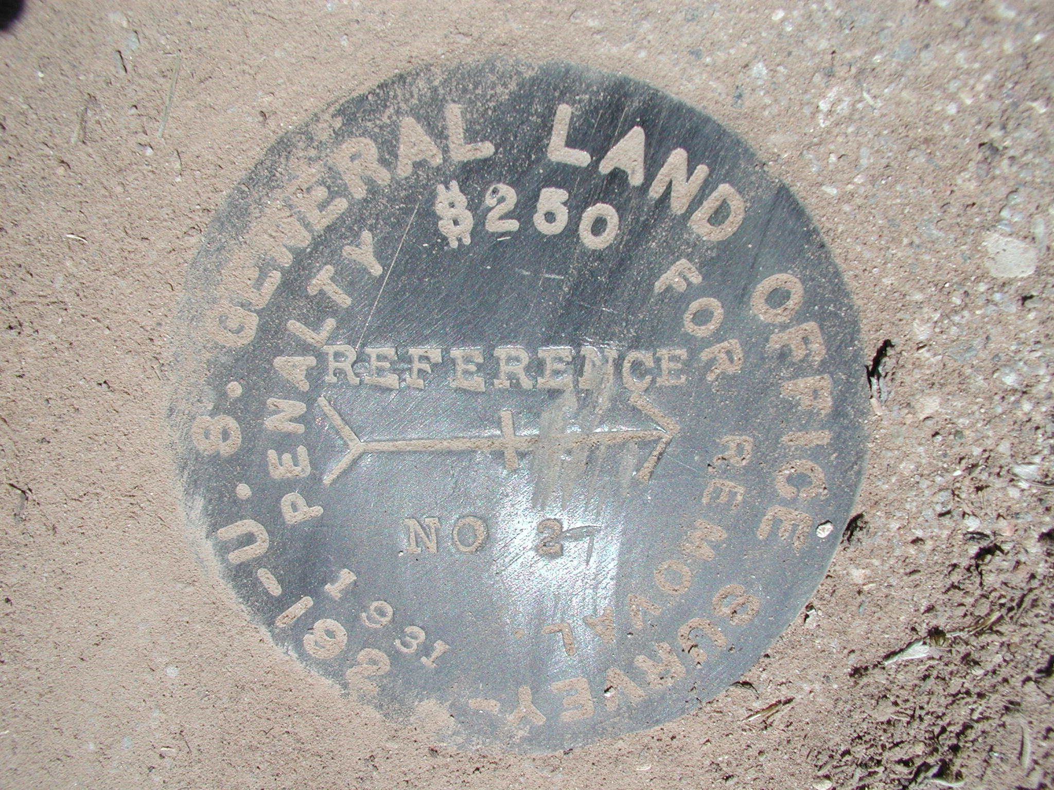
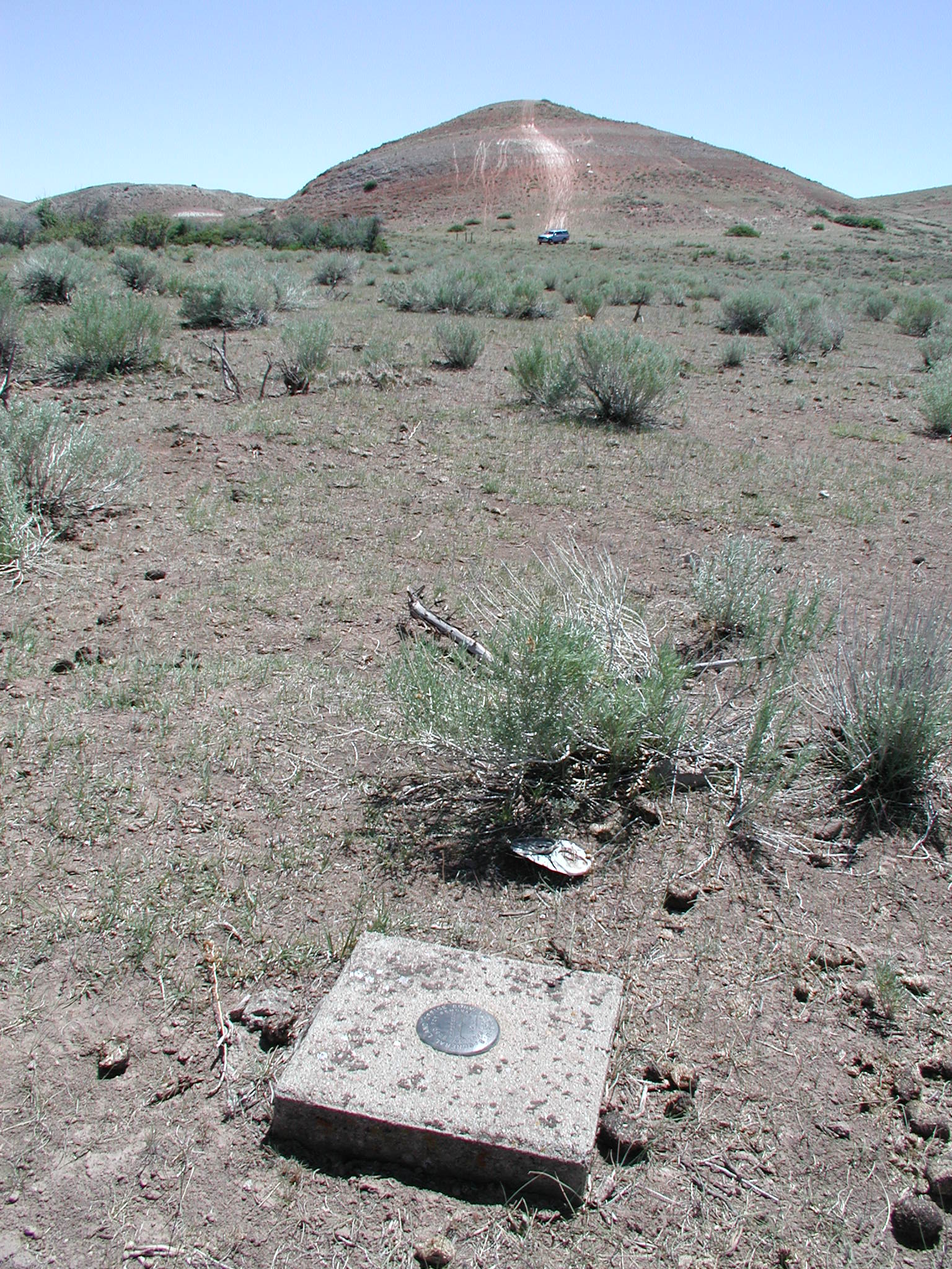
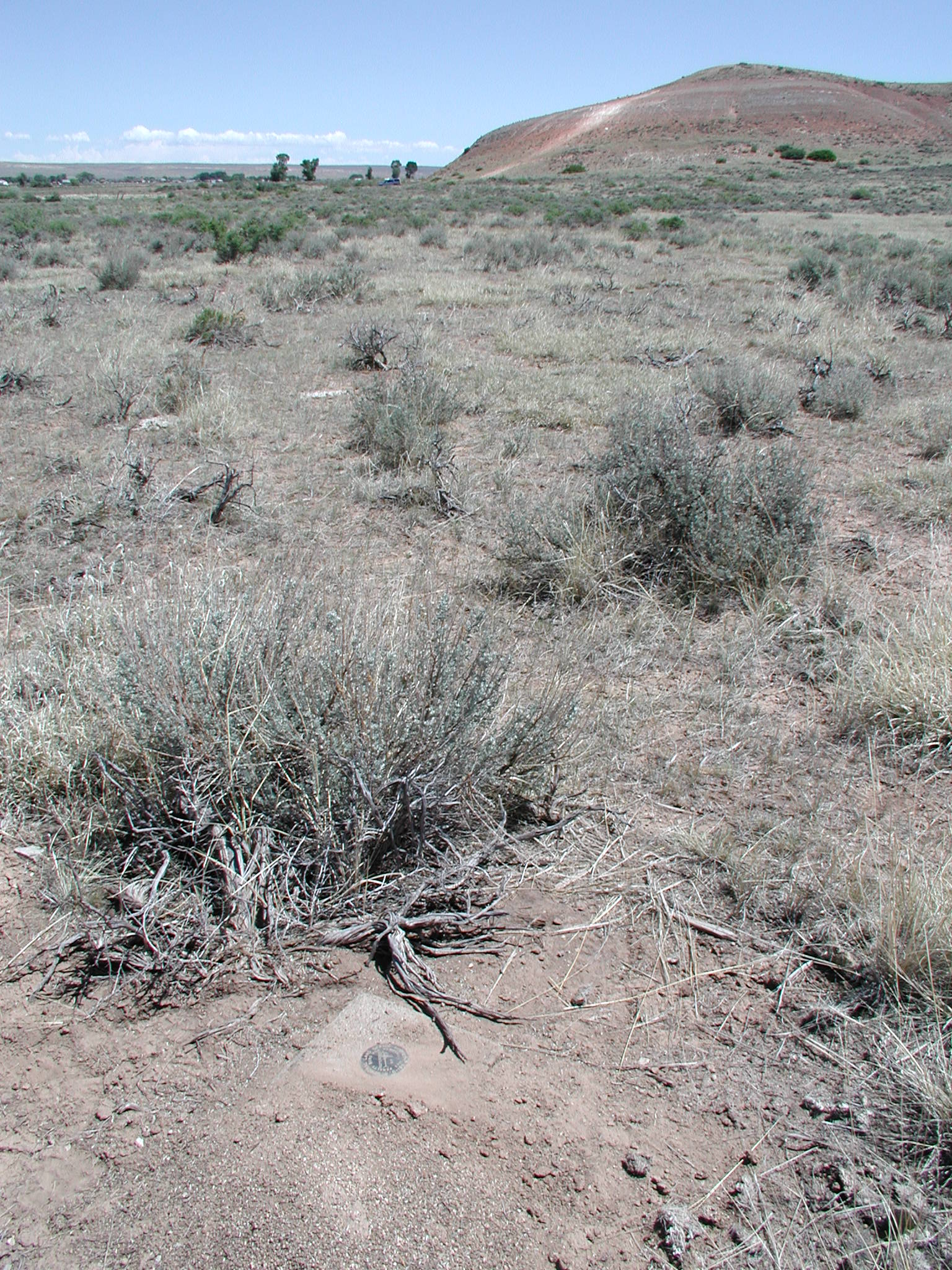
This monument was originally surveyed in July of 1875; the survey was commenced to survey out the lines for the Wind River Reservation and the Shoshone Indians. The Wind River Initial Point is also known as GLO Station No. 21 with the U.S. Coast and Geodetic Survey. I found the 3 1/4" Brass GLO Cap in a concrete post approximately 3.5 air miles from Fort Washakie on the Wind River Indian Reservation; this is the resting place for Lewis & Clark guide Sacajawea Her gravesite is less than 5 miles from this location.
Submitted by:
Kurt A Luebke